UN votes to adopt new world map that shows Africa’s true scale
Click any word to translate
Original article by Eromo Egbejule in Abidjan
The United Nations has voted to adopt a resolution for the world to formally phase out the traditional Mercator map of the globe in favour of one that more accurately displays Africa’s size.
In a session at its headquarters in New York, the UN general assembly officially retired the 16th-century Mercator projection in favour of one based on the more accurate 2018 Equal Earth design.
At the session, 164 countries voted in favour of the resolution. Only the US voted no, with its representative saying the resolution was “superfluous”. There were six abstentions.
UN resolutions are non-enforceable, so countries and institutions will not be mandated to use only the new projection or forbidden from using the old one. However, the outcome is expected to result in an update of classroom curriculums and everyday technology given the wide usage of the Mercator projection in education, technology and governance.
Togo, which spearheaded a campaign for the resolution on behalf of the African Union, said the resolution “recognises and affirms that disproportionate cartographic representations, particularly those resulting from the Mercator projection, have had lasting cognitive, educational, cultural, geopolitical and socioeconomic effects, contributing to a drastic reduction in the perceived size of Africa and other regions of the world in the global collective imagination”.
Speaking before the resolution passed, Robert Dussey, Togo’s foreign affairs minister, said: “This discussion is not a political discussion [but] a scientific discussion, because there is scientific proof so we all have to accept the reality.”
The Mercator layout was introduced by the Flemish cartographer Gerardus Mercator in 1569 to help sailors navigate the seas. Almost five centuries later, it remains the global standard.
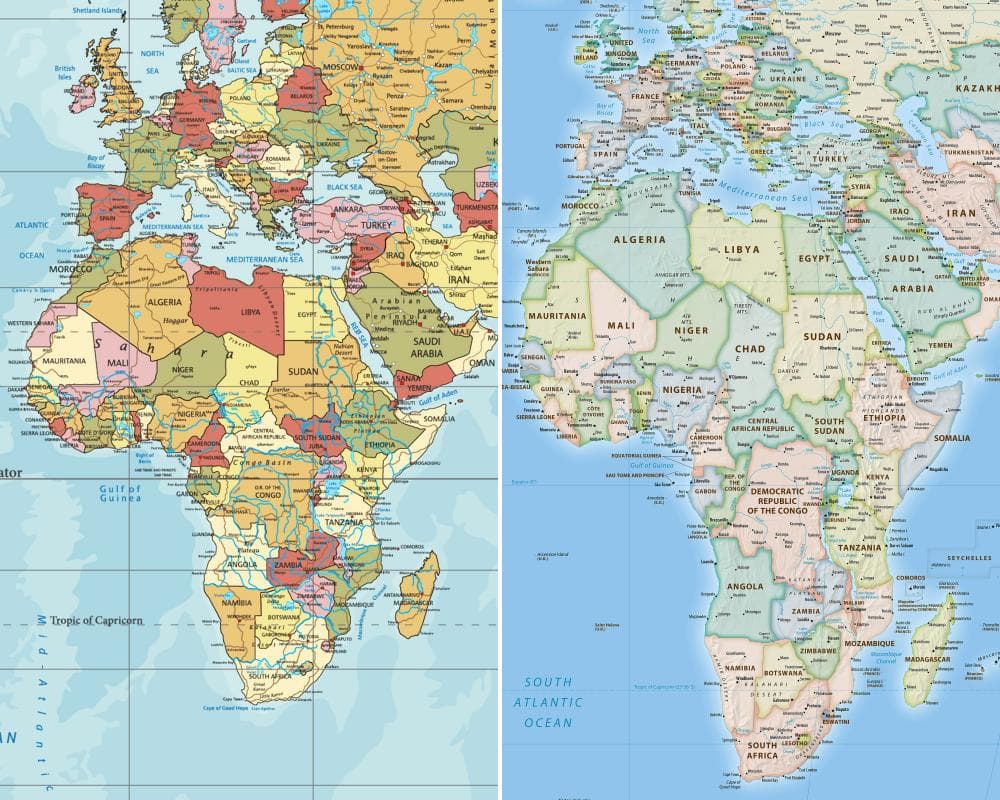
Because of its projection style, however, regions near the equator appear significantly smaller than they are, whereas high-latitude areas look much larger. For example, the map shows Africa as being similar in size to Greenland, but the continent is 14 times larger than the Danish territory.
“You could fit the United States, China, India, Japan, Mexico and much of Europe into Africa and still have land to spare,” says a petition on Change.org for the #CorrectTheMap campaign, which has more than 11,000 signatures. The African Union endorsed the campaign in August 2025 and then asked Togo to spearhead its adoption.
On Friday, before the vote, France’s foreign minister spoke in support of the resolution. “[We] will abandon the Mercator projection in favour of map representations tailored to specific uses, more faithful to actual surface areas and in line with the recommendations of cartographers and scientists,” Jean-Noël Barrot said during a speech at the Sorbonne University in Paris, in a move seen as part of France’s push to increase goodwill among its former colonies. France will now use the Eckert IV projection, which is close to the Equal Earth projection recommended in the resolution.
Historians and geographers have said for years that the Mercator projection is rooted in western stereotypes. Activists have echoed this, with some coining the term “cartographic colonialism”.
Some argue that the map has subtly shaped international power dynamics by minimising the physical presence of the global south and visually inflating northern hemisphere nations while shrinking equatorial regions. This is said to have reinforced systemic biases in international trade, development priorities and educational frameworks.
One of the Mercator projection’s most prominent critics was Arno Peters, a German historian, who launched the Peters world map based on the Gall–Peters projection in 1973. It has often been used as an alternative to the Mercator map.
Togo’s #CorrectTheMap campaign promoted the use of the 2018 Equal Earth design, which was developed by an international team of cartographers. Supporters say it will help to reverse perceptions of Africa and decolonise global curriculums.
Some analysts agree. JJ Enoch, a London-based senior associate at JS Held, a geopolitical risk advisory firm, said the Mercator projection visually diminished Africa’s true scale. He linked the campaign to a quest by African nations for “greater influence in global institutions and greater control over how the continent is represented”.
He said: “Adopting an equal-area map … would provide a more accurate basis for education and public understanding, while signalling that Africa’s demographic, economic and geopolitical importance should no longer be viewed through inherited and distorted conventions.”
Togo’s government is planning an event in Lomé, the Togolese capital, with Unesco, the African Union and tech brands such as Google Maps during the first quarter of next year to map out the implementation of the resolution.
Speaking before the vote, Dussey said: “To those who say why now, I say: why not? When we look at the world map … it is time for us to change the narrative.”
He added: “It’s time for us in Africa to take responsibility to change what we can change ourselves.”